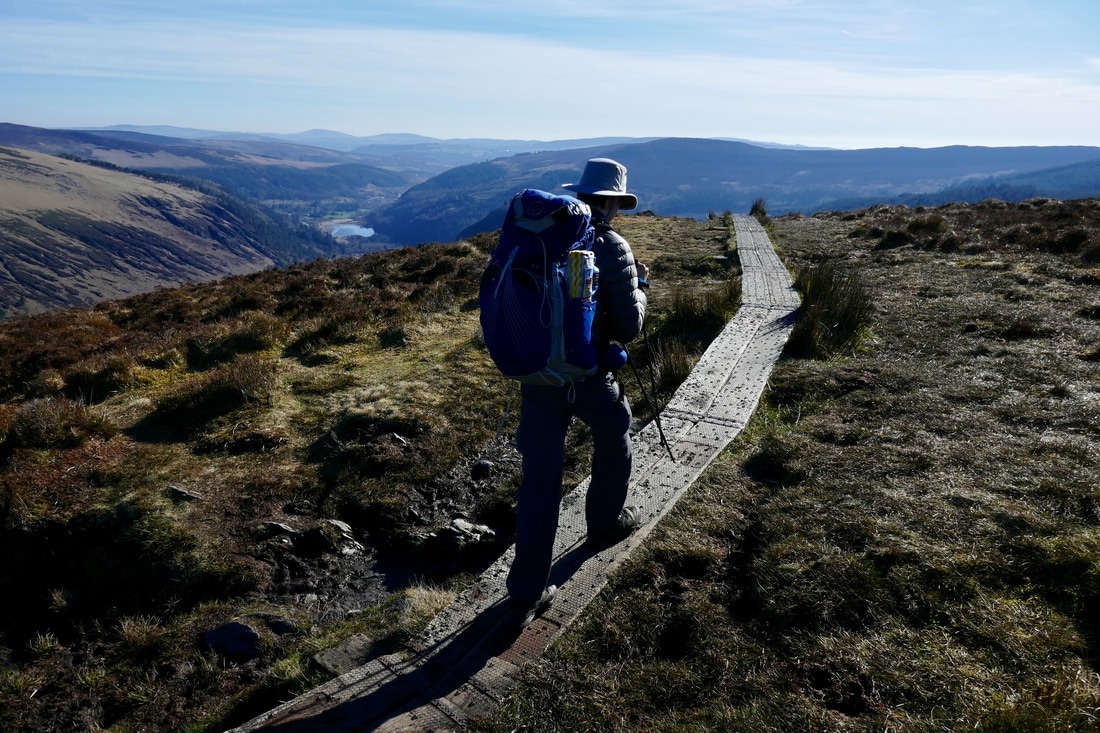
 The Wicklow Way is a long-distance waymarked trail in County Wicklow, Ireland which We walked through during the spring. It covers 131 kilometres and passes through several towns along the way. It has recently celebrated its 35th anniversary. It was officially opened to the public in 1982, but was conceived much earlier. In 1966 J.B Malone proposed a circular trail for Wicklow in a series of newspaper articles, naming the trail "twelve days of Wicklow". In 1977, Malone joined the Long distance walking routes committee of Cospoir, Ireland's national sports council and began lobbying for the creation of the Wicklow Way. Malone's plan for a circular route was replaced by the present linear path due to the Irish government's wish to have the Wicklow Way form part of a proposed web of country hiking trails. The first section of the trail was opened by Jim Tunney (Minister of State for Education) on 15 August 1980, and the the final section was opened to the public two years later. We started the Trail in Dublin in Marley Park on March 21, 2017 and walked until we reached the foot of Klimashogue Mountain, where we stopped to have lunch before continuing to Glencullen. We checked into an Airbnb in Glencullen and had supper at Fox's pub (the highest pub in Ireland) before turning in for the night. The next few days we walked in pouring rain, staying in various Airbnbs and hostels until we reached the first Adirondack shelter. After spending a cold night in the shelter, we walked for three days before arriving at Rathdrum and finishing the walk. 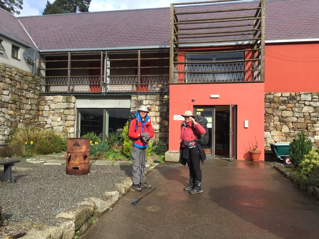 Knockree Hostel, where we passed a comfortable night. 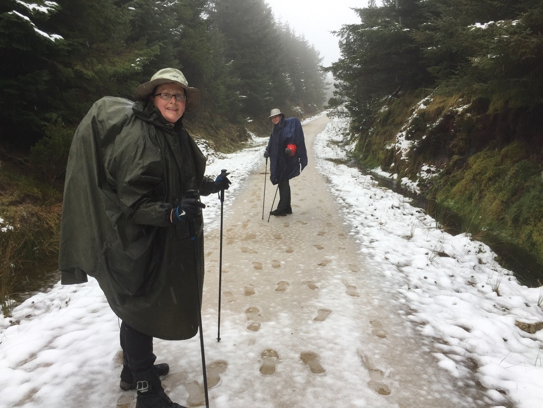 On the trail to Djouce Mountain, starting to get a little cold! 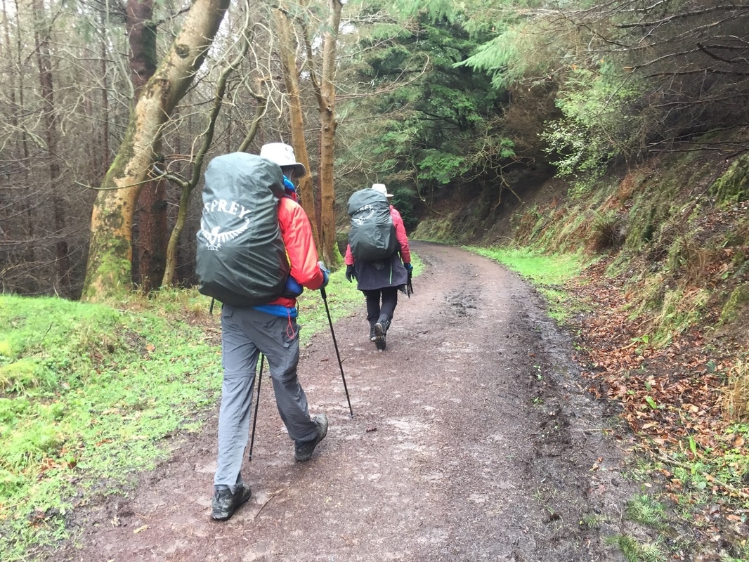 Walking to Enniskerry, shortly after a brief bit of rain. 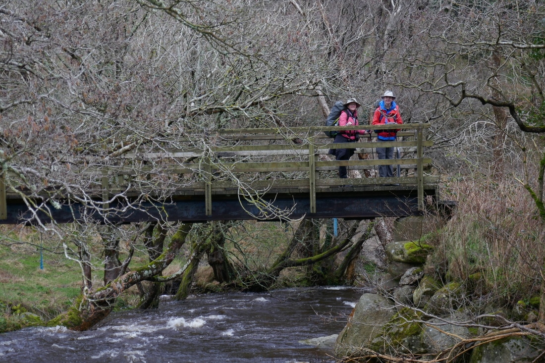 Pausing on a bridge in Glencullen 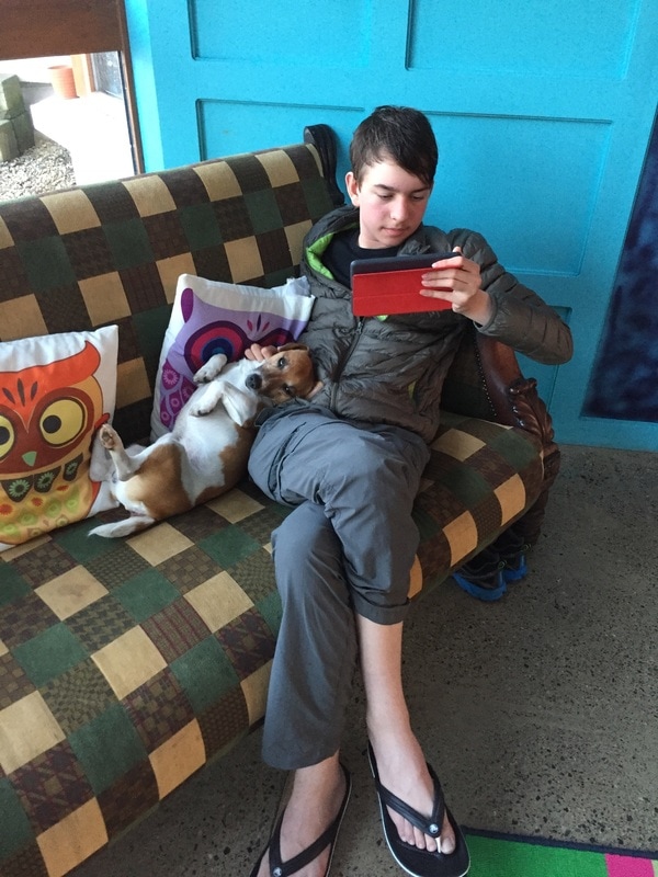 Passing time with a new friend at the Lus Mor B&B 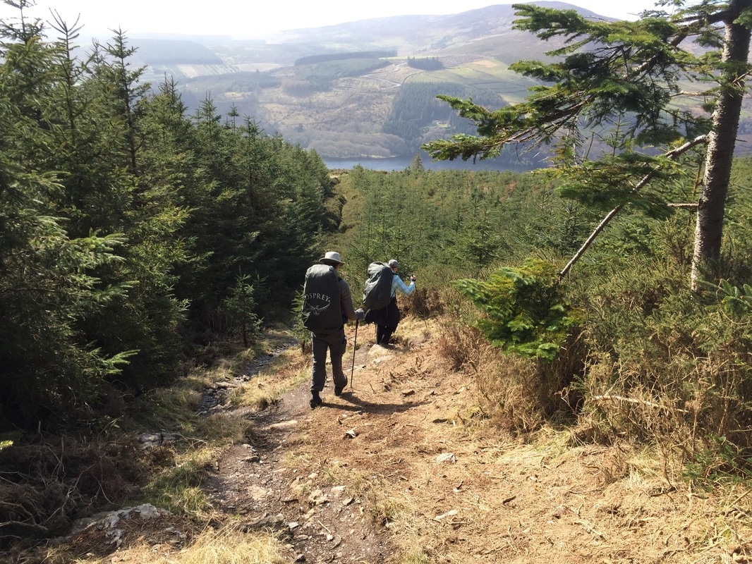 Heading towards Lough Dan by Roundwood. 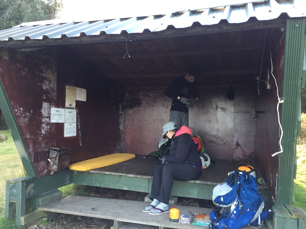 Setting up at the Adirondack shelter. 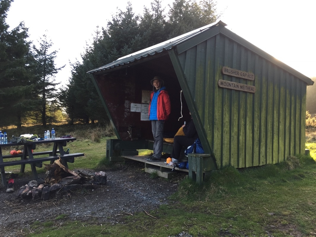 A side view of the Adirondack Shelter. 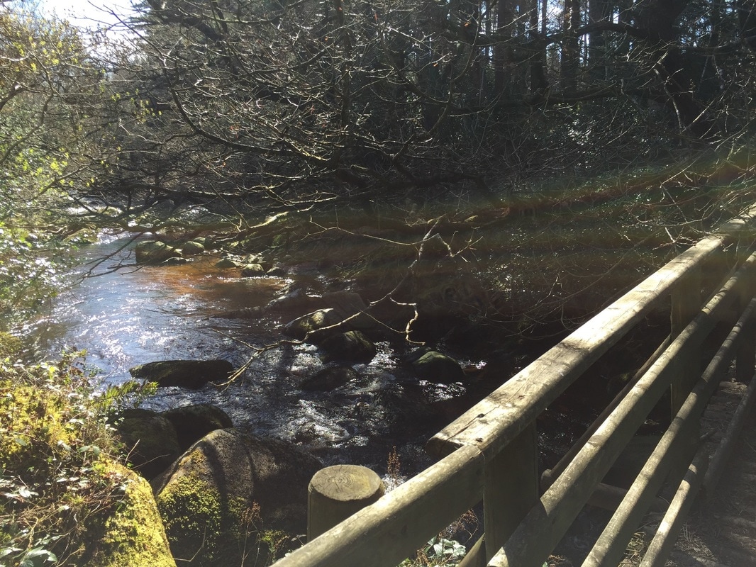 The view from a bridge in Glendalough. 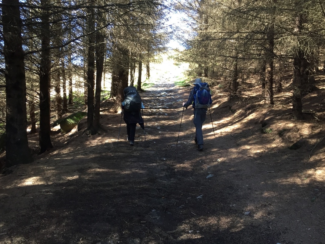 Almost to Glendalough! 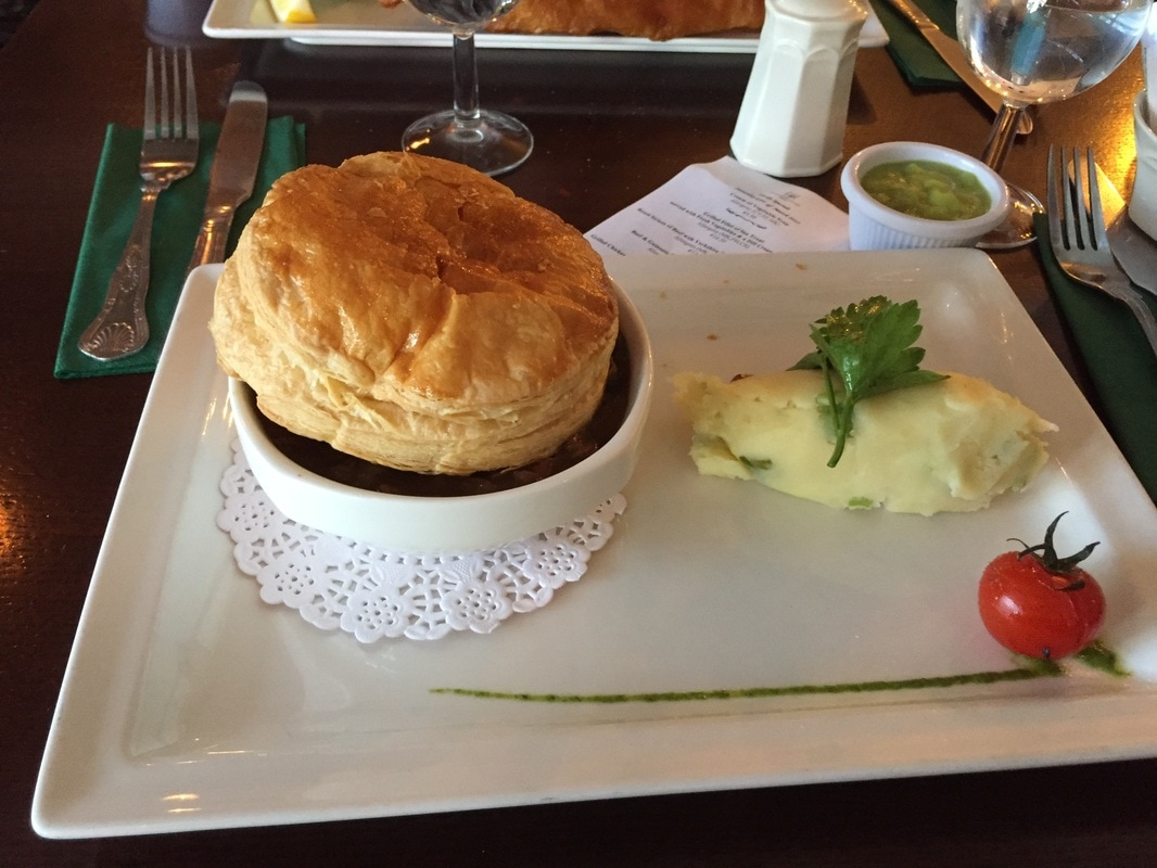 The lunch we had before visiting Saint Kevin's Monastic City, a monastery in Glendalough. 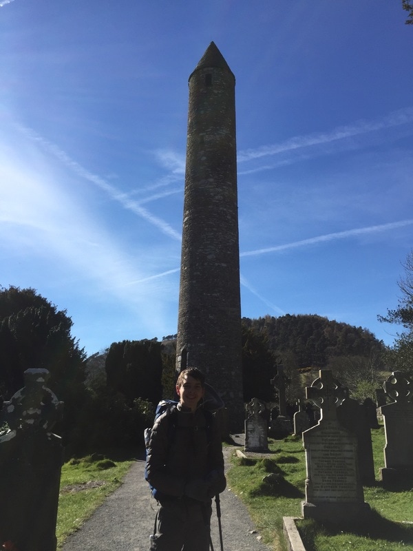 The tower belfry of St Kevin's Monastic City. 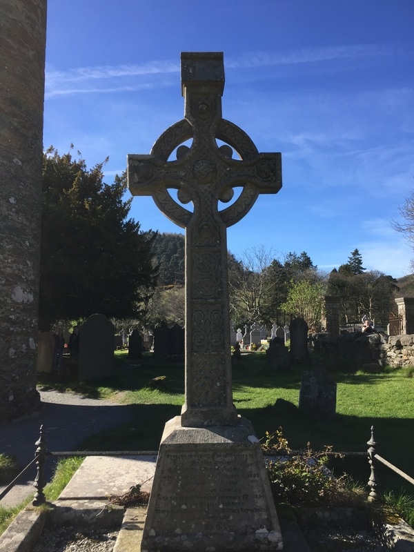 A beautiful Celtic Cross headstone in St Kevin's graveyard. 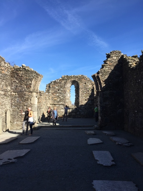 The chapel of St Kevin's Monastic City. 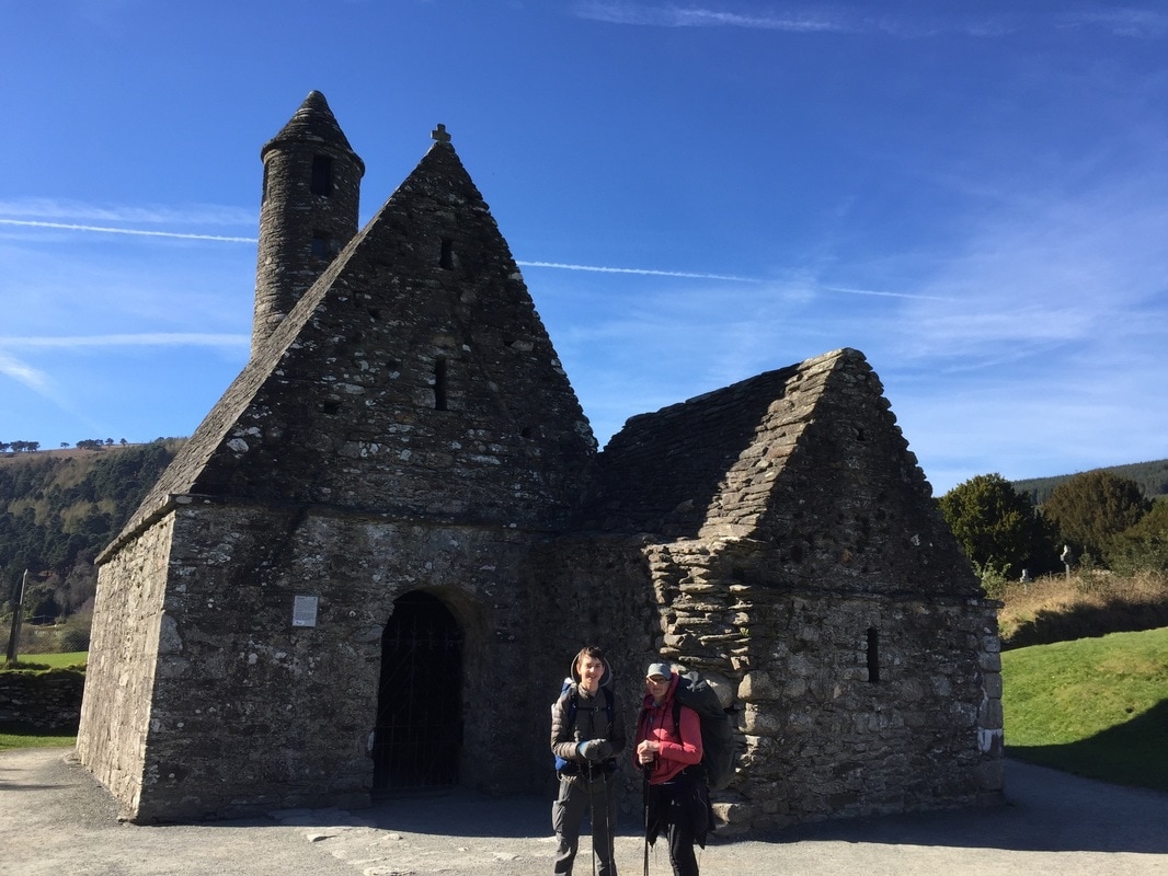 Saint Kevin's Church is more commonly known as "Saint Kevin's Kitchen." 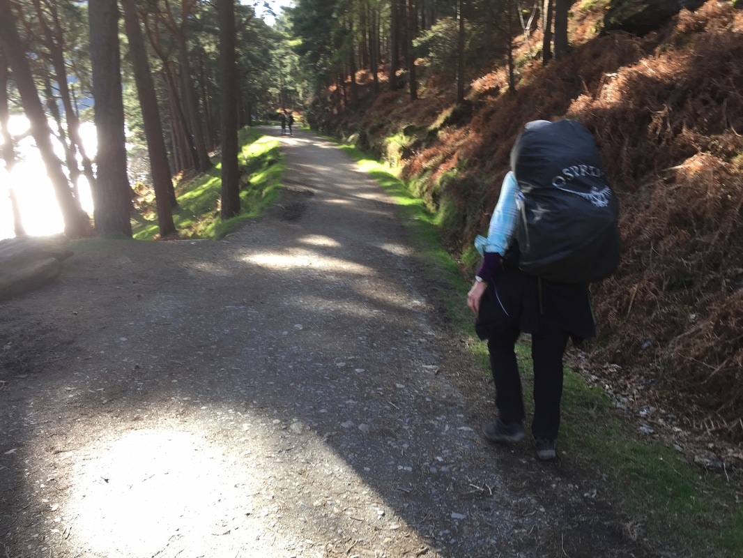 Taking the path to Glendalough valley. 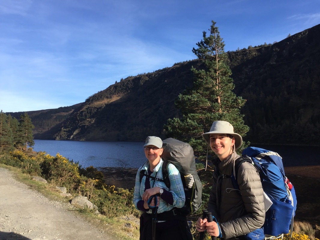 Taking a break by Sevenchurches, in Glendalough. 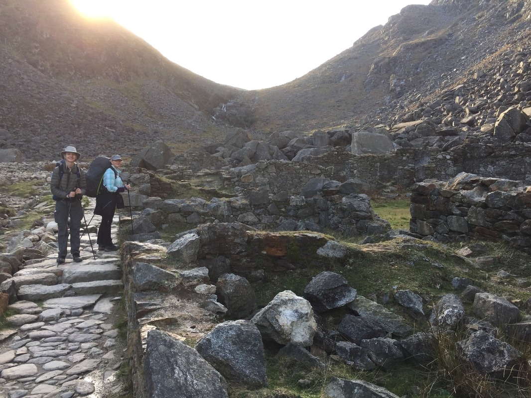 Half-way to the campsite. 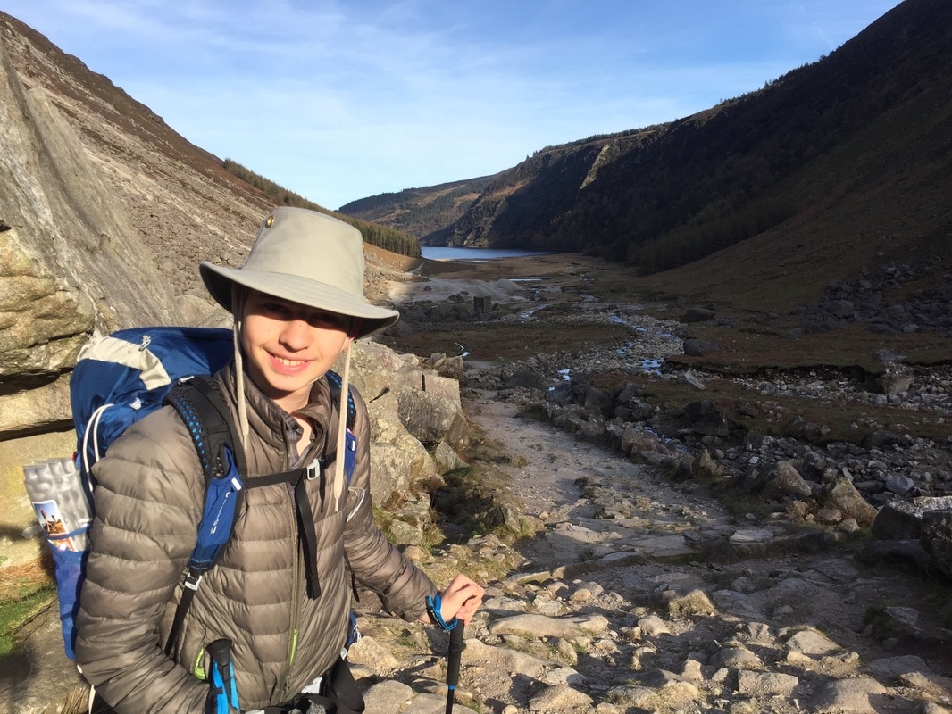 A view of the valley. 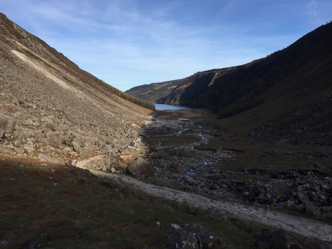 The view down Glendalough. 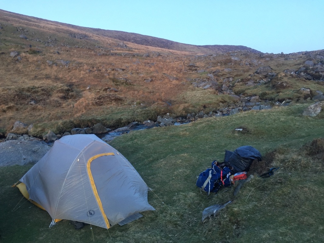 Wild camping at the top of Glendalough Valley. 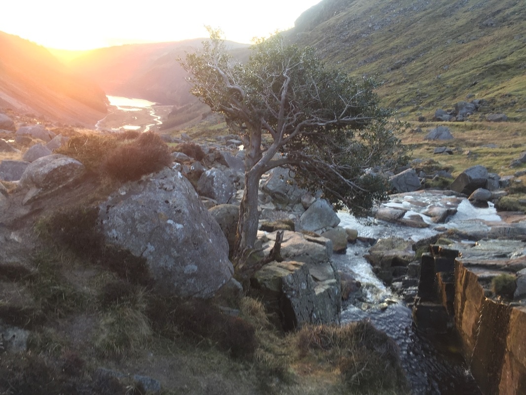 A beautiful view of Glendalough Valley, by Saint Kevin's Monastic City.
2 Comments
|
Archives
October 2018
Categories |
 RSS Feed